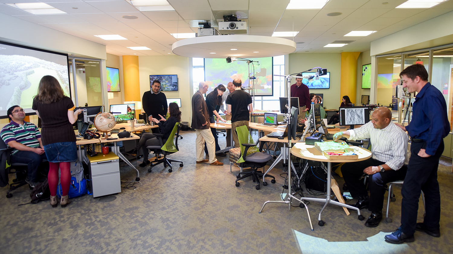
Degree Programs
Two graduate degrees are offered:
- Master of Geospatial Information Science and Technology
- Master of Natural Resources - Geographic Information Systems Technical Option
Master of Geospatial Information Science and Technology
This degree prepares high end professionals to lead North Carolina and the nation both in the development of new technology used to understand and manage spatial phenomena (economic development, disease, emergency planning and response, environmental resources, etc.) and in the management and application of this technology in corporate and service organizations. The degree is centered on NC State’s strengths in management of technology, computer engineering, and statistical analytics and builds on our successful Graduate Certificate in GIS and our Master’s of Natural Resources/Spatial Information Systems Option degree. The program focuses on advanced skill development in computational modeling and management decision support, as opposed to geography, and will address the growing need for GIS developers, managers, and analysts.
To earn a Master's degree in GIST, you must complete 18 credit hours of required courses and 12 credit hours of electives within six years.
The MGIST curriculum has been recognized as a Professional Science Masters (PSM) program. PSM programs focus upon educating students with professional work place skills. In addition to receiving your master's degree, all MGIST students will receive a Professional Science Masters designation on their transcripts. The PSM program is a nationally recognized graduate degree. To learn more about the Professional Science Master's program, please review the website. Information can also be found through NC State's graduate school.
Required Courses (18 hours)
DE denotes Distance Education courses
CLASSROOM denotes traditional classroom courses
GIS 510 is a pre-requisite for GIS 515, GIS 520, GIS 521, GIS 530, GIS 540. GIS
540 is a pre-requisite for GIS 550 and GIS 590. Unless special permission is
granted, all MGIST students must take GIS 510. GIS 510 cannot be taken
concurrently with GIS 520
- GIS 510 - Introduction to Geographic Information Science DE CLASSROOM
- MEA 582 - Geospatial Modeling and Analysis DE CLASSROOM
- GIS 530 - Principles of Geospatial Information Science DE CLASSROOM
- GIS 540 - Geospatial Programming Fundamentals DE CLASSROOM
- GIS 550 - Geospatial Data Structures and Web ServicesDE CLASSROOM
- GIS 590 - Geospatial Information Science Master's Project DE CLASSROOM
Elective Courses (12 hours)
DE denotes Distance Education courses
If you wish to take a course as an elective that is not listed below, you must obtain approval from your Academic Advisor.
Geographic Information Systems
Any GIS course not taken as a required course (including applications-oriented (APP)
courses specifically recommended for GIS Certificate and Minor students)
Untitled Document Business Management
- BUS 590 Strategic Management FoundationsDE
- MBA 551 Service Management and MarketingDE
- MBA 552 Management Issues in Organizational CultureDE
- MBA 553 Business Process Design and AnalysisDE
Computer Science
Communication
- COM 521 Communication and GlobalizationDE
- COM 527 Seminar in Organizational Conflict Management (Classroom sessions - spring, DE summer)
- COM 530 Interpersonal Communication in Science & Technology Organizations DE (summer)
Engineering, Biological & Agricultural
- BAE 535 (SSC 535) Precision Agriculture TechnologyDE
- BAE 590 AutoCAD Civil 3D-GIS IntegrationDE
- BAE 590 GIS Apps in Precision AgricultureDE
Engineering, Civil
Engineering, Electrical
Engineering, Industrial and Systems
Forestry and Environmental Resources
- FOR 510 Introduction to GPS
- FOR 554 Principles of Spatial Analysis DE
- FOR 753 Environmental Remote Sensing
Landscape Architecture
Marine, Earth, & Atmospheric Sciences
- MEA 511 Introduction to Meterological Remote Sensing
- MEA 582/GIS 582 Geospatial Modeling and AnalysisDE
- MEA 592 Applied Data Analysis in the Earth Sciences using Matlab
- MEA 592 Tectonic Geomorphology
- MEA 592 Advanced Earth Surface Processes - Landscape Evolution
- MEA 792 Advanced Geospatial Modeling with Open Source GIS (Offered in Fall only)
Public Administration
Soil Science
- SSC/CS/BAE 440 GIS in Production AgricultureDE
- SSC/BAE 535 Precision Agriculture TechnologyDE
- SSC 545 Remote Sensing Applications in Soil Science & AgricultureDE
Statistics
ANY 500-level or above Statistics course, including:
Master of Natural Resources - Geographic Information Systems Technical Option
Administered by:
Department of Forestry and Environmental Resources
Department of Parks, Recreation, and Tourism Management
Management, analysis, and communication of natural resource phenomena require an understanding of spatial relationships. Spatial modeling, remote sensing, geographic information systems, and spatial databases have become an entire sub-discipline in resource management. This option provides students with a thorough background in the spatial sciences including GIS, GPS and remote sensing. Students completing this option will be prepared for positions in a variety of federal agencies such as the USDA Forest Service, EPA, NOAA, or Corps of Engineers; with state agencies; with regional or local planning organizations; and with private consulting firms.
For details see: Master of Natural Resources - Geographic Information Systems Technical Option


